As I stitch more on my map of France, adding dozens of icons for row crops, vineyards and wheat fields, I feel like I’m looking backward and forward at the same time.
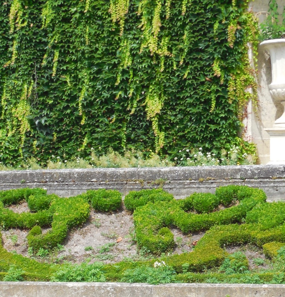
I am remembering the shining wheat fields and castle gardens in the countryside, where our GPS stopped working and we got delightfully lost.
I am remembering the awe of walking along the Seine and seeing history standing before me.
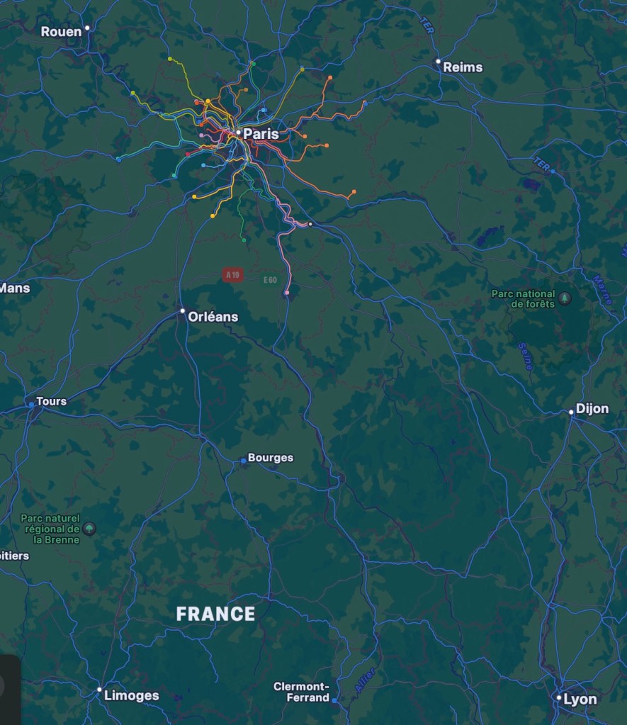
And, looking at maps and train lines, I am planning our next journey, from Paris to Lyon, then winding around to Orléans and up to Rouen. What will we see on our way? How will it let me see the country differently?
Screenshot
Honestly, I never thought embroidery could make me philosophical. But here we are.
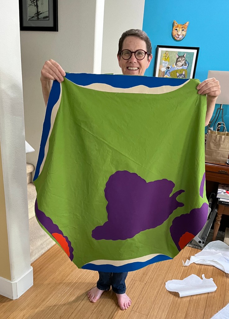
I have been working on my French map quilt steadily for a few weeks now, and I’m pretty happy with it so far.
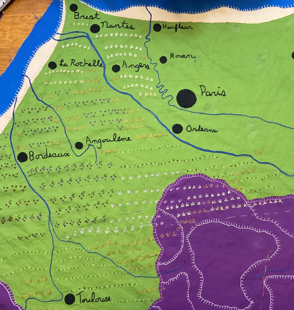
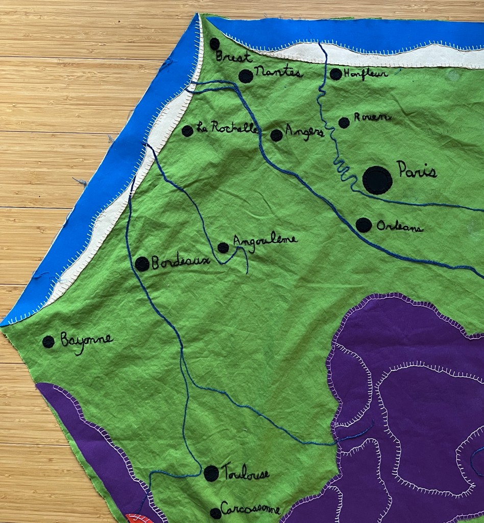
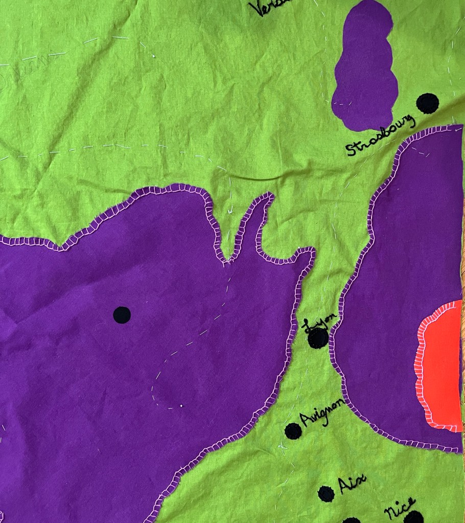
The rivers are embroidered, the city dots are ironed and sewn into place, the mountains and highlands edged, and the coastlines nice and swooshy.
Of course, it isn’t done yet. There is all that land between the main features that looks like it wants some detail.
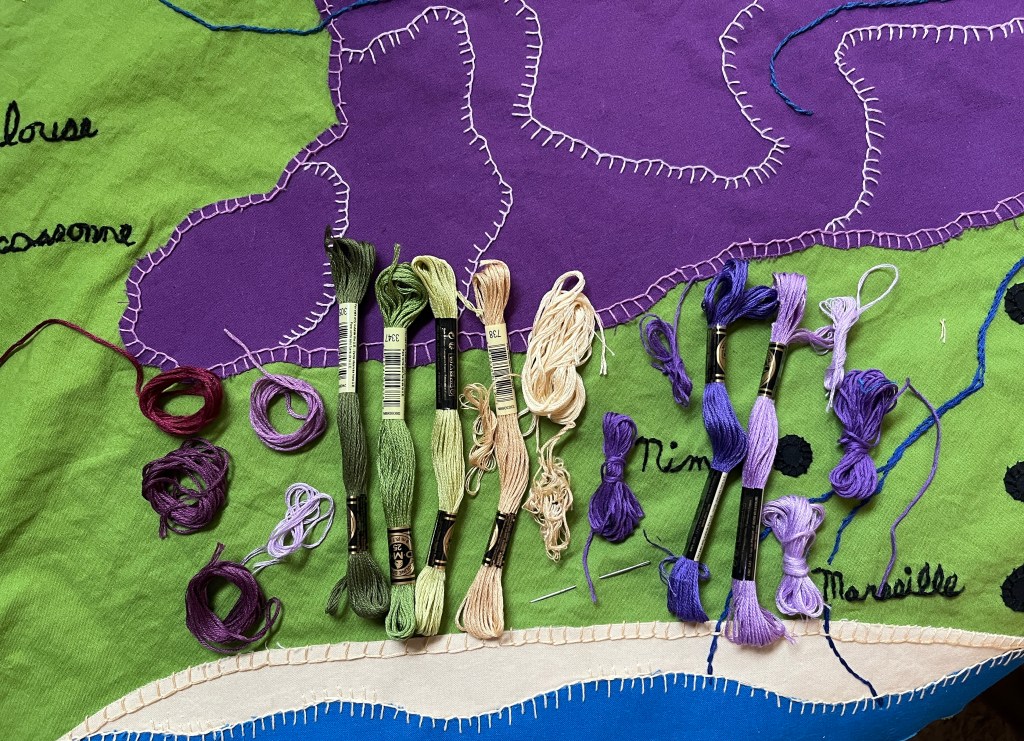
Rolling hills and grape vines, rocky crags and swampy spots, fields of wheat and rows of lavender, all need to add texture and interest.
So I will get started on the next step. I have chosen my color palette, looked at the symbols used in paper maps. I have come to terms with the fact that this will not, and cannot be, an accurate depiction. It will be, like all maps, an interpretation.
It was my intention to be very methodical about this quilt. First the land forms, then the cities, then the rivers, and so on. But that wasn’t working for me.
Embroidering the names of the cities is extremely fiddley, and hard to do for very long without getting a little crazy. There was lots of squinting and mumbling.
So I started alternating. A few cities, then some easy, sweeping lines on the mountains, then a few more cities. Then start on the Loire!
Then a walk in the park to stay balanced and happy.
Once I had the geography for my French map quilt designed and cut, it was time to stick it all down. I watched several YouTube videos to learn about my options, then I took the bus down to Joann Fabrics in Happy Valley (yes, there is a town called Happy Valley!)
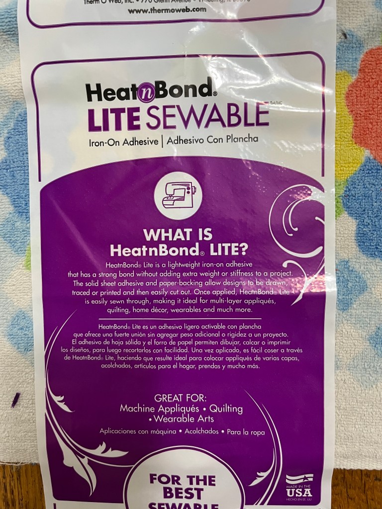
I chose Heat n’ Bond lite sewable fabric adhesive and it worked very well so far. I will know more when I start the embroidery and see how easy it is to sew through.
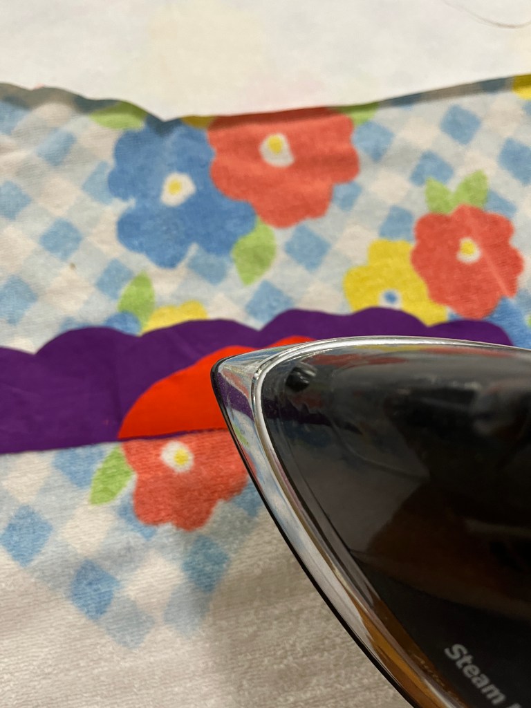
Following the very basic instructions, I ironed, trimmed, peeled, and ironed again.
You need to make sure your iron is hot enough, (or it won’t stick), and avoid ironing the glue-y bits, (or it stinks and gums up your iron), but other than that, it’s easy!
I was slowed down temporarily because I failed to buy enough of the fusible interfacing, and needed to make an extra trip to Joann.
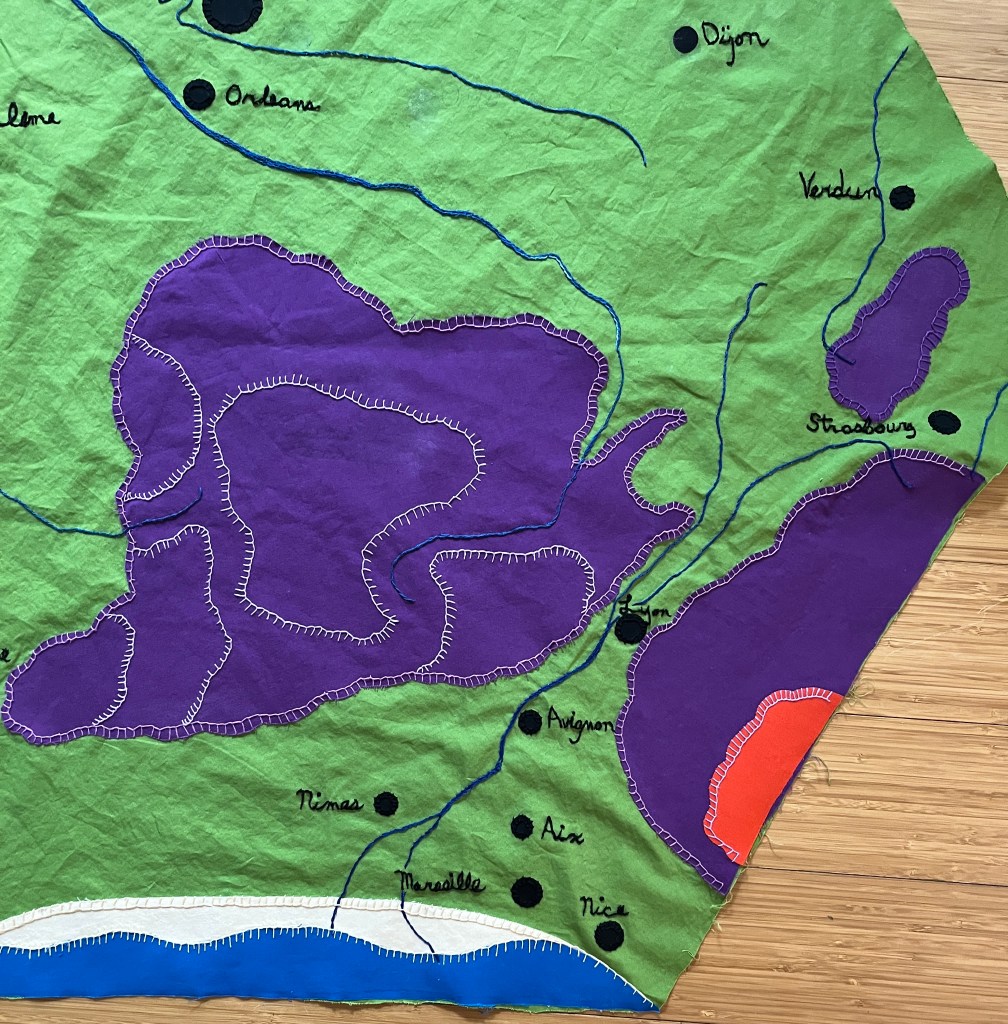
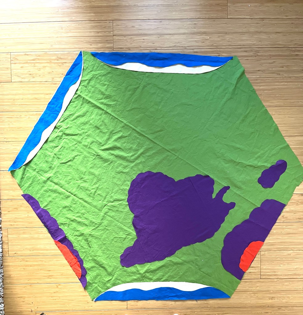
But once that was done and the Massif Central was fused down, all my geology was set!
I was feeling pretty good about the shape of my highlands, mountains and shorelines on my French map quilt. Auntie Bridgett admired the lay out, then asked, “Are you going to put anything else on it? Like cities?”
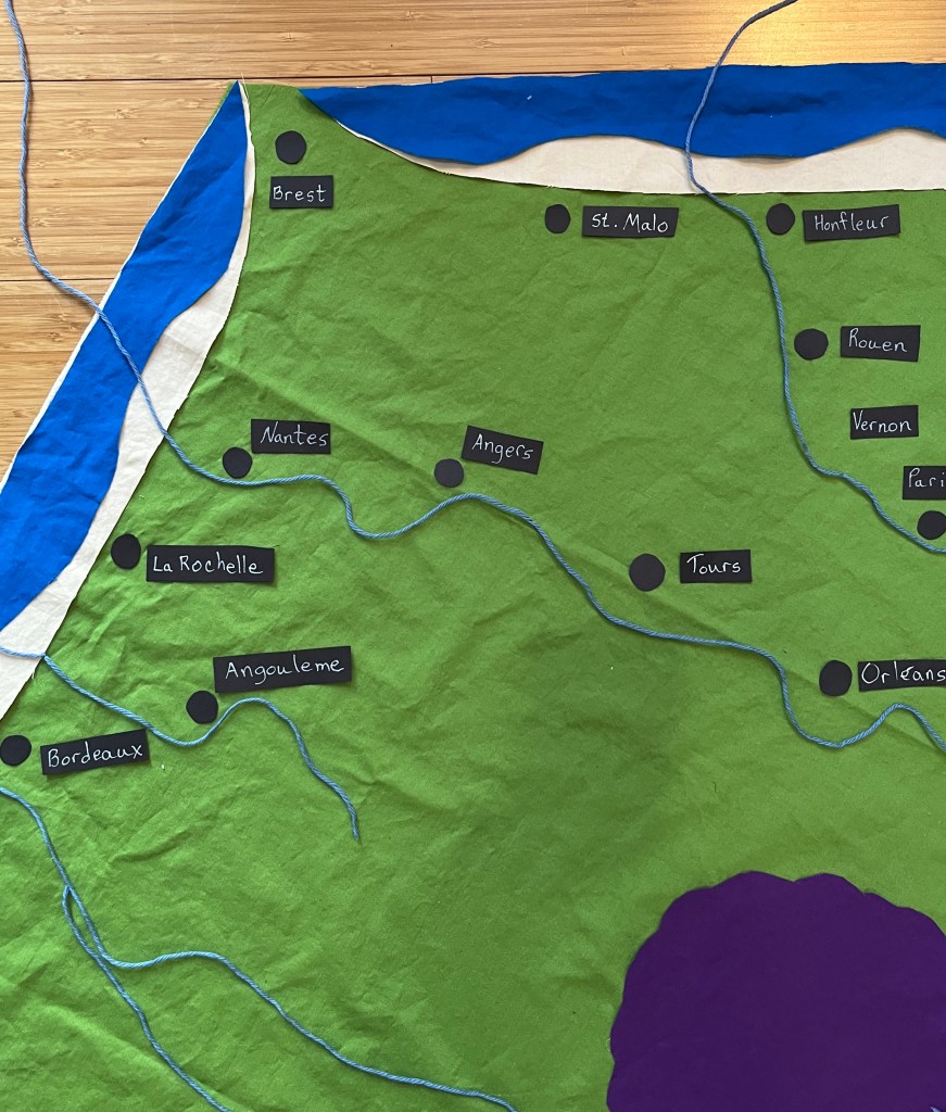
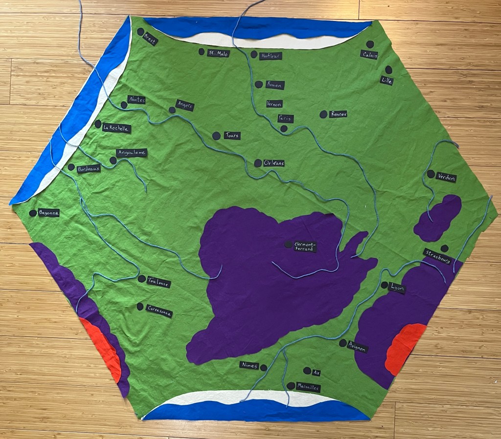
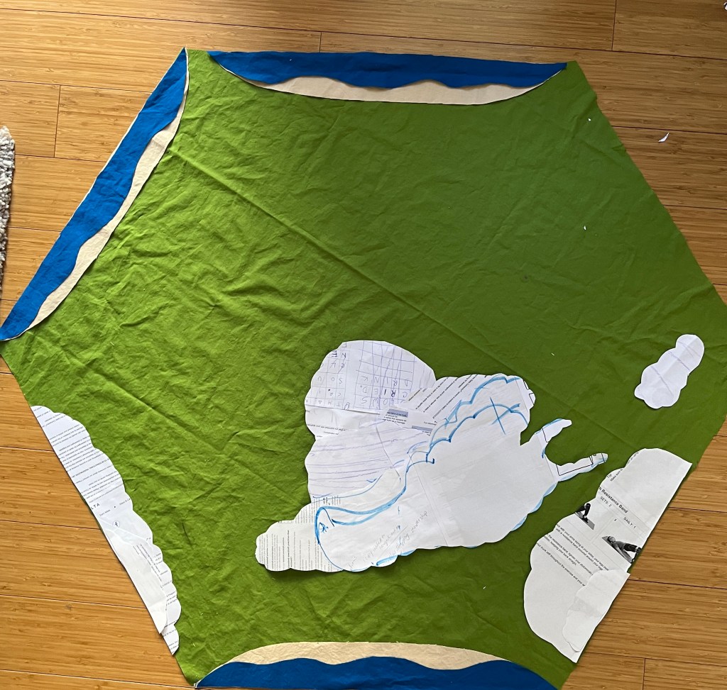
Oh. Yeah. Knowing that most cities in Europe are on rivers, I decided to put in the rivers first.
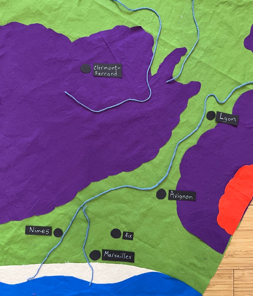
So, using Googlemaps and blue yarn, I began to lay out my rivers. I’m only putting in the main rivers for now, so you can see (from upper right, going clockwise) the Meuse, the Rhine, the Rhône, the Garonne, the Dordogne, the Charante, the Loire, and the Seine.
Once the rivers were laid down, I felt more confident about the placement of the cities. Paris, Vernon, Rouen and Honfleur along the Seine,
Orléans, Tours, Angers and Nantes along the Loire,
and Lyon, Avignon, Aix and Marseilles along the Rhône.
So now, everything is laid down. But NOTHING is attached yet. If I lift the green hexagon, it all falls off. That’s the next step, and it may take a few days. Be patient with me.
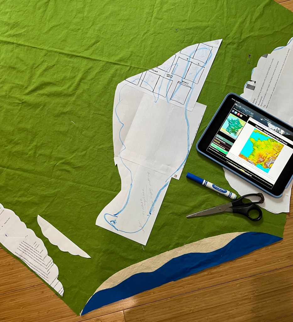
Yes, I have made progress! Once I got the shorelines figured out, everything starting making sense.
I kept looking at my patterns for the Grand Massif, the Alps, and the Pyrenees, and they were just …. Clunky. They made the whole eastern side of the country look like a mountain range, which just isn’t the case.
As you can see….
So I pulled up different topographical maps of France to see how I might make them better. Certainly more accurate, and maybe just a little prettier.
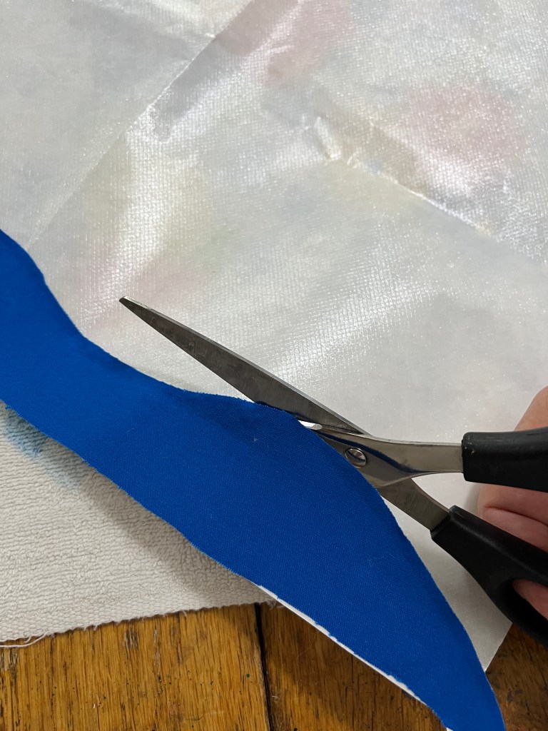
My process isn’t artistic, or even scientific. I glue sheets of scrap paper together and start cutting, staring and trimming until I get a shape I like.
This took a good part of the morning, because there is a lot of cutting, placing, staring, and walking away for a while. During the walking away parts I vacuumed, went shopping, and watched the Olympic Triathlon on YouTube.
And when I got a pattern that was closer to the shape of the Massif, I laughed out loud. Un Escargot!!! That is, a snail.
I like that a lot. Escargot are one of the classic French dishes. Snails are also raised all over France for it, and it is one of Auntie Bridgett’s indulgences when we visit there.
So I chuckled and pinned the patterns down, carefully trimming the lumpy shapes out of the purple fabric. The highest peaks of the Pyrenees and the Alps will be shown in red.
Et voilà! The big shapes are taken care of.
But there is one more detail hanging over my head.
I have this half yard of black fabric that I haven’t used yet. It is part of the color palette, and I think it will give the map some depth and drama. I intended it to be mountains, but it looked like a big black hole. I think it would be better as a detail, a curve or a line rather than a blob.
So now I get to stare at this for a while, and figure out what comes next.
As you can tell, I’ve become a little obsessed with this French map quilt.
I’ve never made anything like it, and the examples I’ve found on the internet aren’t anything like I’m trying for, so I am in untested waters.
Quite literally, because it is the shorelines that are giving me the heeby-jeebies. I am trimming, staring, and questioning myself at every step.
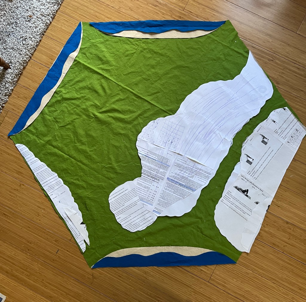
After Auntie Bridgett pointed out that for the shoreline to look right it would need water, I headed down to Joann fabric to fetch some blue. And she was right (as she so often is). The shorelines of France curve in, so they fit well inside my hexagonal outline. But what shape should the waves be? Classic pointy? Or smoothly waving?
Since this is an interpretation of a map, we are imagining it from above, and the pointy wave shape is what we see from alongside the waves.
So I am going to go with the smoothly waving style, and will add some embroidered lines of white and blue to show the texture and movement of the waves hitting the shore.
So, after more than a week of “The Artistic Process”, I have three of my six edges (those with shorelines) figured out. Next, I’ll wrestle with mountains.